Research projects
3D geospatial intelligence - data manipulation and mining
Point cloud manipulation and modelling with the advanced 3D computer vision and machine learning methods for a variety of environmental and urban applications
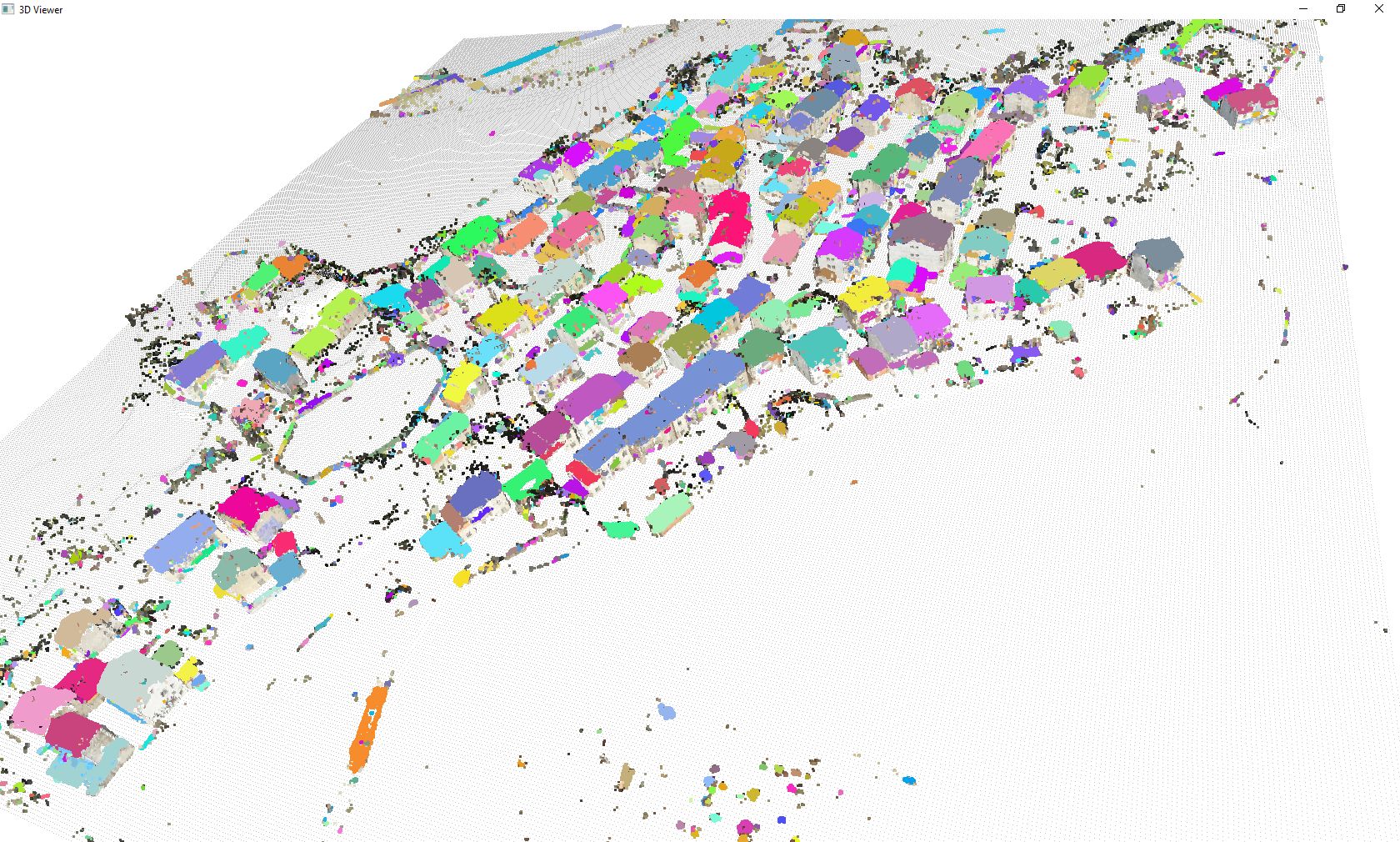
3D semantical labeliing and segmentation of aerial-ground mobile mapping system data
Project to develop intelligent learning methods for extracting road furnitures and urban features for smart city and driverless applications
Big Data Analytics in 3D Geospatial Vision
Project to develop intelligent methods for extracting spatial features and semantic from combined image, voxel and point cloud data
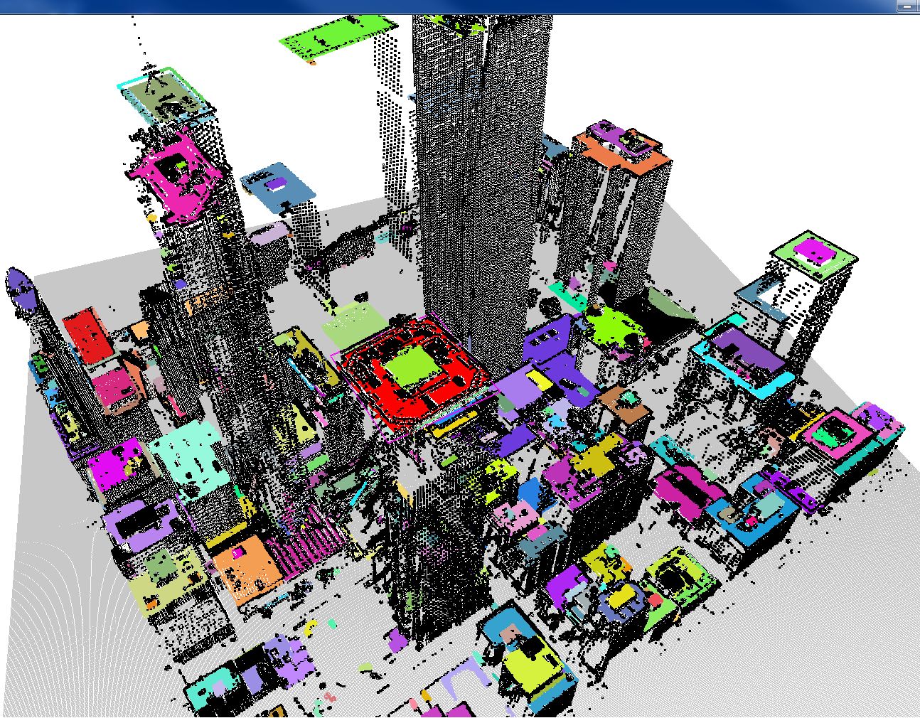
Geo-modelling techniques by 3D multimodality remote sensing for urban informatics
We integrate 3D point cloud data with spectral image and GIS data to enhance urban senmantic modeling and enrich the SDI
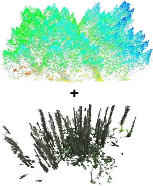
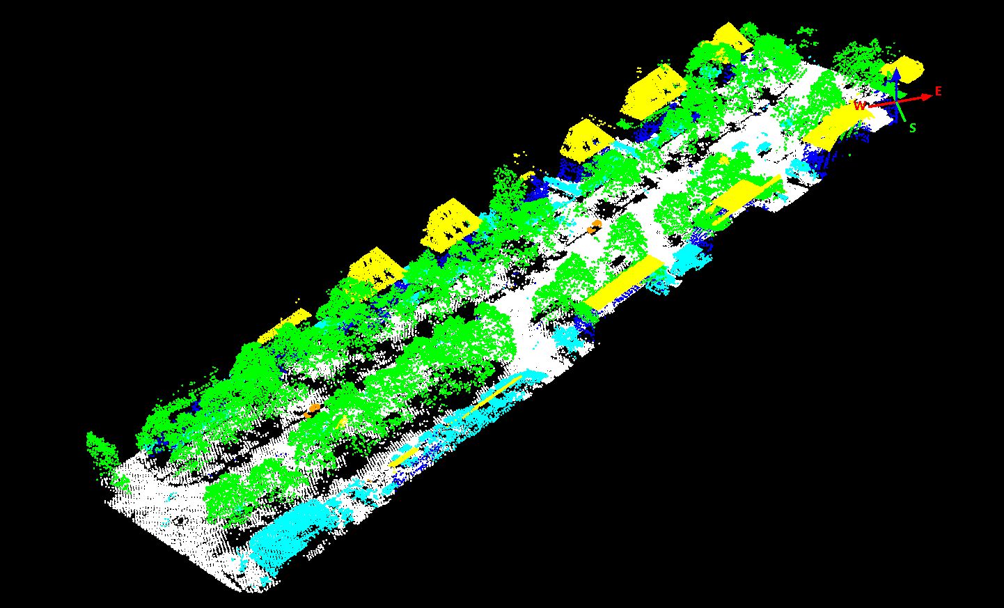
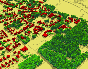
Intergration of backpack and UAV LiDAR/imaging sensors for precision forestry
Project to develop intelligent methods for extracting forest parameters based on combination of ULS and BLS data